Geospatial Notebooks
A collection of Jupyter notebooks for geospatial applications
Overview
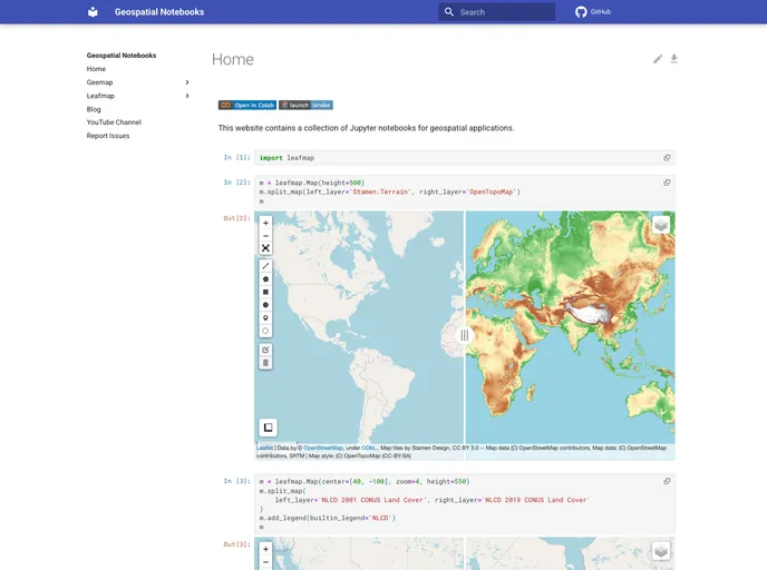
If you're looking to dive into geospatial applications leveraging Jupyter notebooks, this collection offers a robust starting point. It provides a streamlined template that is easy to customize and implement, making it ideal for developers and analysts alike. Whether you’re a beginner or an experienced user, these notebooks serve as a practical toolset for geospatial data visualization and analysis.
Setting up your own repository using this template is straightforward. You can create a personal repository, customize it as per your needs, and quickly get to work on your geospatial projects. With a few simple steps, you can have your own ready-to-use platform that can help you take full advantage of geospatial data.
Features
-
Easy Repository Setup: A simple guide is provided to help you create your own repository from the template, ensuring quick and efficient setup.
-
Customizable Code: Modify dependencies and settings in
requirements.txtandmkdocs.ymlto tailor the environment to your specific project needs. -
Organized Structure: The template encourages the creation of folders and files, promoting a neat organizational structure for your notebooks and documentation.
-
Flexible Documentation: Easily manage and update the issue template and documentation through
.github/ISSUE_TEMPLATE/config.yml. -
GitHub Pages Integration: Effortlessly enable GitHub Pages to host your project documentation and share your progress with others.
-
Version Control Support: Utilize Git for version control to track changes, collaborate, and improve your projects over time.
-
User-Friendly Interface: The combination of Jupyter notebooks and GitHub Pages results in a visually appealing and accessible way to present your work.
- MkDocs

MkDocs is a fast, simple and downright gorgeous static site generator that's geared towards building project documentation. Documentation source files are written in Markdown, and configured with a single YAML configuration file.